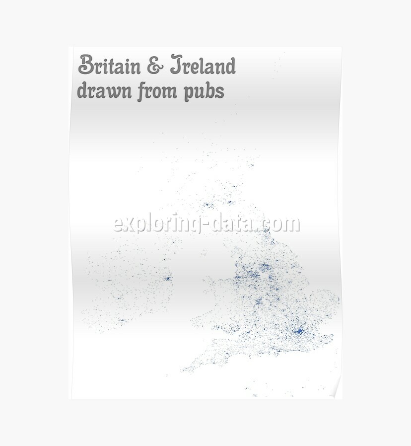
Britain & Ireland drawn from pubs - Map Print
This map of Britain & Ireland is drawn from pub locations only. Each pub is represented as a blue dot making the contour and the populated areas visible. The location data comes from OpenStreetMap.Products available from
Please see the respective shop pages for details about available product types, options and prices.
You may also like
Published on August 05, 2015 (updated on December 31, 2020) by Ramiro Gómez (@yaph). To be informed of new posts, subscribe to the RSS feed.
Disclosure: As an Amazon Associate I earn commissions from qualifying purchases made via links on this page. Please see the about page for more information.
