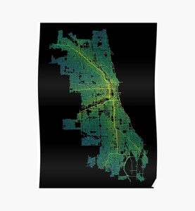
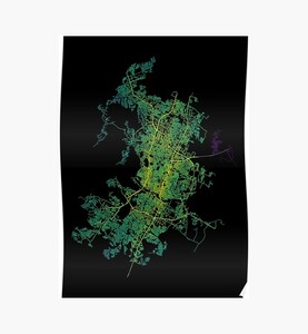
Seattle, Washington, USA Colored Street Network Map Graphic
            A graphic for map geeks and nerds showing the street network of Seattle, the largest city in the U.S. state of Washington and the Pacific Northwest region of North America, in yellow, green and blue colors. The colors reflect closeness centrality in the st
            
Products available from
            
                
                    amazon.com
                
                
                    redbubble.com
                
            
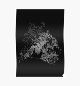
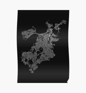
            Please see the respective shop pages for details about available product types, options and prices.
                You may also like


Chicago, Illinois, Colored USA Street Network Map Graphic


Nashville, Tennessee, USA Street Network Map Graphic


Boston, Massachusetts, USA Street Network Map Graphic


Austin, Texas, USA Colored Street Network Map Graphic


Published on September 10, 2018 (updated on December 31, 2020) by Ramiro Gómez (@yaph). To be informed of new posts, subscribe to the RSS feed.
Disclosure: As an Amazon Associate I earn commissions from qualifying purchases made via links on this page. Please see the about page for more information.